Since pre-colonial times in the United States, many wars have been fought and lives lost over disputed boundaries. Property boundaries can have political ramifications, dictate jurisdiction, applicable laws or regulations, or simply impact the value of real property. In short, property boundaries affect people’s lives. The concept of land title is unique to English property law, upon which the majority of our modern property law system is based. And title, or the legal evidence of a person’s ownership rights in the property, is distinct from the concept of the property boundary, which is grounded in locating the property on the ground. In the context of a real estate transaction, real estate due-diligence can divulge a host of unknown information about a property’s boundaries and title. This post will focus on boundary issues, and not title, in the context of real estate transactions.
During a real estate transaction or other research into the details of real property, it is not uncommon to discover boundary demarcations and property lines are not where the property owners believed them to be. For example, fences are constructed off the property line, the 100-year-old barn is partly on the neighbor’s property, or the legal description references a creek channel that no longer exists. These discrepancies are often identified through a resurvey of the property and, depending on the specific situation, the impact of such discrepancy can range from small to significant.
In a more urban setting, the loss of a foot or two of land along a boundary can have expensive impacts on development plans that require precise building footprints or setbacks. In more rural settings, outbuildings mistakenly situated to straddle property lines or access roads incorrectly constructed outside of an easement can cause headaches and added expense. Addressing boundary issues takes the expertise of a variety of professionals, including title companies, surveyors, and attorneys. Hiring a trained real property attorney early on in the process to help identify the issues and recommend solutions can save money in the long run. Worden Thane’s attorneys bring a wealth of expertise to real estate transactions and provide a team approach to assisting clients with their real estate and real property issues.
The following are some boundary issues that may arise in a real estate transaction that a skilled attorney can help you navigate.
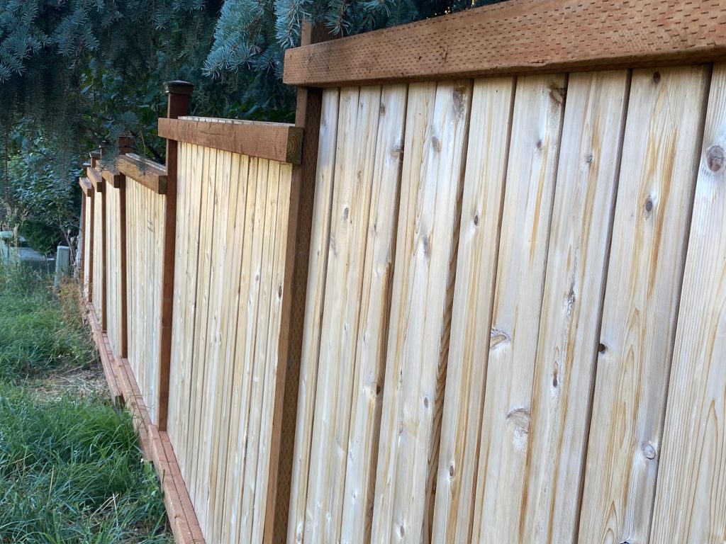
Fences Located off Property Boundary
The Montana Supreme Court said it best in its 2001 opinion in Guthrie v. Hardy: “Whereas in Robert Frost’s New England good fences make good neighbors, in Montana, generally speaking, messing with your neighbor’s fence is a good way to start trouble that comes cheap and leaves expensive.” Guthrie v. Hardy, 2001 MT 122, 38, 305 Mont. 367, 28 P.3d 467.
Often, it’s not until a property is surveyed as part of a real estate sale or purchase that the details of the property corners or location of structures in relation to the boundary come into focus. At that point, a buyer or seller has to make some decisions. Most real estate contracts have contingencies related to a survey or inspection of the property. If the boundary discrepancy is significant enough to impact value or materially change the property, the parties can elect to terminate the contract. However, if minor issues are not insurmountable, the parties can elect to work with qualified professionals to resolve the issue. Such a resolution can range from renegotiating a purchase price to relocating a fence or other structure, to formally relocating a boundary line or drafting an easement to encompass an unmovable structure. A qualified real property attorney can assist you with any of these options.

Modern Survey Techniques Identify Boundary Discrepancies
A surveyor creates and identifies boundary lines using legal survey principles. Historically, those boundaries were passed down word-of-mouth, and eventually in hand-drawn maps that evolved into modern surveying and mapping techniques. Montana was still a territory when the first efforts to survey its lands began. The General Land Office (GLO) created surveys using a rectangular system, whereby the land was partitioned into township and range, with 36 parcels per township with each parcel a square mile, or 640 acres. These early survey techniques often resulted in errors that were passed down through subsequent transfers.
The practice of land surveying in Montana includes, among other things, locating and monument-ing property boundaries, platting land and preparing surveys and property descriptions, and locating natural and constructed features. Section 37-67-101(8), Mont. Code Ann. Real estate attorneys work closely with surveyors, whose expertise and training are indispensable in resolving boundary issues. For properties with aliquot part or government survey legal descriptions, a modern survey can uncover errors such as gaps and overlaps or other unique circumstances on the ground. Often, the surveyor is the first to note a boundary discrepancy, and then suggest a client work with a real property attorney to identify the best tool to resolve the issue.
For example, a property boundary that was described using the aliquot parts (S½ NE¼ SE¼ of Section 1) was later resurveyed to include a metes and bounds description that measured the distance from a corner pin to the aliquot part line. An error arose where the measurement, which likely intended to stretch to the aliquot part line, stopped short of that line. The result was a gap between the two property owner’s tracts of land. This boundary issue necessitated the filing of a quiet title action and a judicial determination as to the location of the boundary.
Natural Changes to the Landscape Alter Boundaries or Confound Legal Description
Historic legal descriptions often referenced natural objects or landforms, including waterways, trees, or other landforms. Over time, these objects move or disappear, rendering the job of determining property boundaries much more challenging.
For example, Missoula’s oldest city park, Greenough Park, was donated to the City of Missoula in 1902. The handwritten legal description contained a reference to “the west side of Rattlesnake Creek.” In 2012, when the City of Missoula re–surveyed the park, Rattlesnake Creek’s main channel had shifted within its floodplain, as waterways are inclined to do. To complete the new survey and identify the park boundaries required a significant amount of work by a highly-qualified surveyor, in addition to legal determinations related to the navigability of the creek and interpretation of historic surveyor notes.

Survey Pins are Missing or Moved
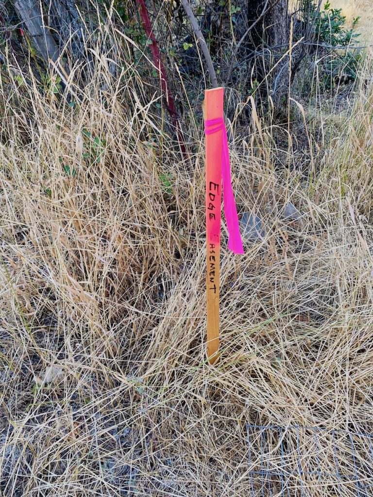
Survey pins and corner markers are not always set in stone, literally, and such monuments do not always stand the test of time. For example, in Montana, our wildlands see regular wildfire activity and homes and structures constructed in the wildland-urban interface can be impacted by wildland fires. In one example, a wildfire swept through an inhabited area and destroyed 100+ year old structures. A recent survey of the area was unable to locate historic corner pins and, because the structures identified on old surveys were destroyed in the fire, the surveyor was required to place new corner pins to accurately mark the boundaries.

Resolving boundary issues takes expertise, creative problem solving, and patience. Worden Thane’s real estate attorneys provide the skill to help resolve your boundary issues and assist with all your real estate needs.
